Why Do Storms Form?
Most of the storms that affect the UK develop over the North Atlantic Ocean during autumn and winter.
These weather systems form where colder polar air meets warmer tropical air. The contrast in temperature creates areas of low pressure that can rapidly intensify when influenced by the jet stream, a fast-moving ribbon of air high in the atmosphere.
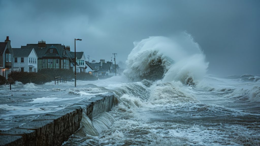
As these systems deepen, they can bring a combination of strong winds, prolonged rainfall, snowfall and coastal impacts. During the winter months, when temperature contrasts are strongest, storms are generally at their most powerful.
For communities across the UK, the combination of heavy rainfall and already saturated ground can significantly increase the risk of flooding.
Storm Names Through the Years
Since the UK and Ireland introduced the storm naming system in 2015, the number of named storms has varied considerably from year to year. Some seasons have seen only a handful of named storms, while others have included more than ten.
The table below shows the number of named storms recorded during each storm season since the scheme was introduced.
| Season |
Number of Named Storms |
Last Named Storm |
| 2015/16 |
11 |
Katie |
| 2016/17 |
5 |
Ewan |
| 2017/18 |
8 |
Hector |
| 2018/19 |
8 |
Hannah |
| 2019/20 |
6 |
Francis |
| 2020/21 |
5 |
Evert |
| 2021/22 |
6 |
Franklin |
| 2022/23 |
2 |
Betty |
| 2023/24 |
12 |
Lilian |
| 2024/25 |
6 |
Floris |
| 2025/26 |
7 |
Dave |
* Storms that start and are named in other countries can impact the UK, Ireland and Netherlands
Looking Back at the Previous Storm Season
The 2025/26 storm season brought a range of severe weather impacts across the UK, including flooding, damaging winds, power outages and transport disruption.
One of the most significant events was Storm Goretti in January 2026. Bringing wind gusts of up to 99mph in the Isles of Scilly, it caused widespread damage across Cornwall and the far south-west. Tens of thousands of properties lost power, thousands were left without water supplies, and one person tragically lost their life after a tree fell onto a caravan.
Storm Claudia was one of the season’s most notable flooding events. Parts of England and Wales received a month’s worth of rainfall in just six days, leading to severe flooding in South Wales and Herefordshire. A major incident was declared in Monmouth after the River Monnow burst its banks.
Later in January, Storm Chandra brought more than 100mm of rain to some areas of south-west England and Northern Ireland. Widespread flooding affected communities across Devon, while roads, railways and schools were disrupted by the prolonged wet weather.
Other notable storms included Bram in December 2025, which caused power cuts and coastal damage, and Dave in April 2026, the strongest April windstorm since storm naming began in 2015, with gusts reaching 93mph in North Wales. By contrast, Storm Benjamin brought relatively limited impacts despite periods of heavy rain and strong winds.
Together, these storms highlighted the wide range of weather hazards faced by the UK, from damaging winds and coastal impacts to prolonged periods of rainfall leading to significant flooding.
| Storm |
Naming Agency |
Date Named |
Main Impact Dates |
| Amy |
Met Office |
1 October 2025 |
3-4 October 2025 |
| Benjamin |
Météo-France |
22 October 2025 |
22-23 October 2025 |
| Claudia |
AEMET |
10 November 2025 |
14 November 2025 |
| Bram |
Met Office |
8 December 2025 |
8-10 December 2025 |
| Goretti |
Météo-France |
6 January 2026 |
8-9 January 2026 |
| Chandra |
Met Office |
26 January 2026 |
26-27 January 2026 |
| Dave |
Met Office |
2 April 2026 |
5-6 April 2026 |
This Year’s Storm Names
The storm names for the 2026/27 season have now been announced.
Storm Names 2026/27
| Austen |
Finn |
Kilian |
Phelim |
Wende |
| Boelo |
Gwendolyn |
Laoise |
Ruban |
|
| Chloe |
Heather |
Miriam |
Shaun |
|
| Dano |
Ivy |
Nicola |
Theo |
|
| Evelyn |
Jade |
Olaf |
Vesna |
|
Looking Ahead to the 2026/27 Storm Season
There is additional interest in this year’s storm season because 2026 has seen prolonged dry weather and drought conditions across large parts of England. Despite recent rainfall, many rivers, reservoirs and groundwater levels remain well below average, with drought conditions continuing across much of the country.
At the same time, meteorologists are closely monitoring the development of an unusually strong El Niño event in the Pacific Ocean. While El Niño occurs thousands of miles from the UK, it can influence global weather patterns. Current Met Office forecasts suggest this exceptionally strong event could increase the likelihood of wetter and stormier conditions across north-west Europe, including the UK, during autumn and early winter.
How far through the alphabet do you think we’ll get this year?
In some storm seasons, we only experience a handful of named storms, while in others the list progresses much further. Regardless of how many storms occur, staying aware of weather warnings and understanding your local flood risk can help you prepare for whatever the season brings.